
Industries and factories
ETP design, IEE and EIA reports, and compliance support for operating and new plants.
From effluent treatment plant design and IEE/EIA reports to GIS and hydrological modelling, we give industries, NGOs and developers science they can submit, defend and build on. We also train the next generation of environmental professionals.
Licensed in Gazipur. Trade Licence No. 20420, Gazipur City Corporation. Working with industries, NGOs, researchers and project developers.

Consultancy for industry and project developers, spatial and water analysis, climate reporting, and training for the research community.
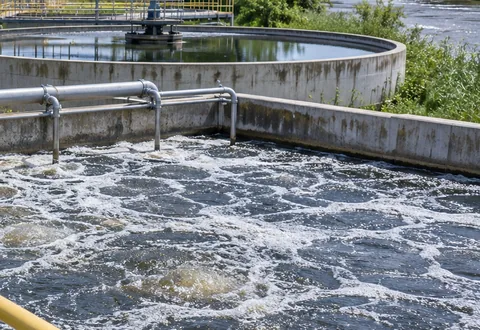
Effluent treatment plants designed so industrial wastewater meets the Department of Environment discharge standards.
Learn more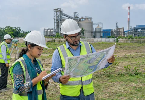
Initial Environmental Examination and Environmental Impact Assessment reports prepared for environmental clearance.
Learn more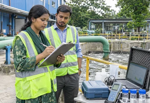
Plans that set out how a project will reduce its environmental impact and how that will be monitored.
Learn more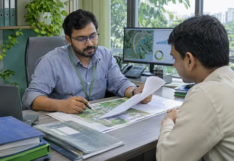
Guidance and document support for obtaining and renewing environmental clearance.
Learn more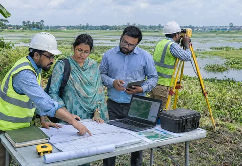
Technical and environmental feasibility studies to check that a project is workable before you invest.
Learn more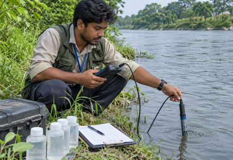
Sampling plans and baseline data on water, air, soil and noise for your site.
Learn more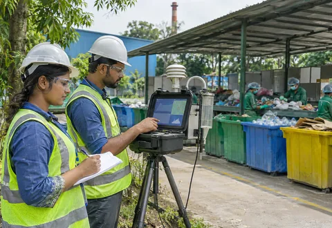
Practical advice on cutting waste and air emissions at industrial sites.
Learn more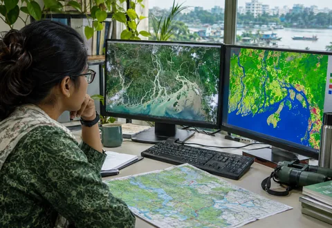
Spatial analysis, satellite image processing and maps for studies and reports.
Learn more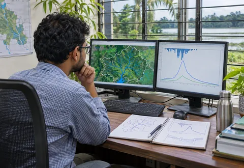
Building and running hydrological models for water resource studies.
Learn more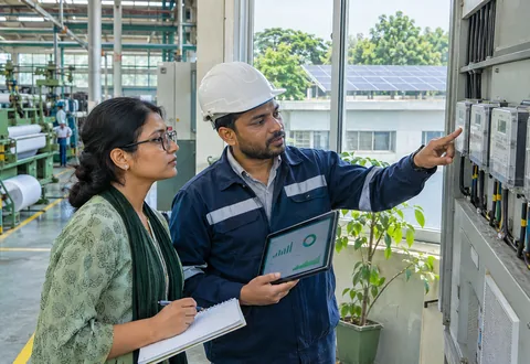
Carbon footprint estimates, climate risk screening and sustainability reports for organisations.
Learn more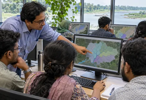
Certification courses in GIS and remote sensing for students, researchers and professionals.
Learn more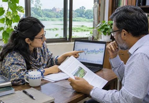
Guidance for students and researchers from choosing a topic to publishing the paper.
Learn moreOur work reaches industry, public bodies, development partners, researchers and communities.
ETP design, IEE and EIA reports, and compliance support for operating and new plants.

Technical studies and mapping that support planning, review and monitoring.

Environmental assessments, GIS mapping and training for teams and communities.

Environmental assessments, feasibility studies and site mapping for housing, roads and industrial parks.

Feasibility studies, baseline data and spatial analysis for projects in Bangladesh, delivered in English.

Training, thesis guidance, modelling and publication support.

GIS, remote sensing and research-skills courses, plus thesis guidance.

Water, flood and land-use studies that put local knowledge on the map.
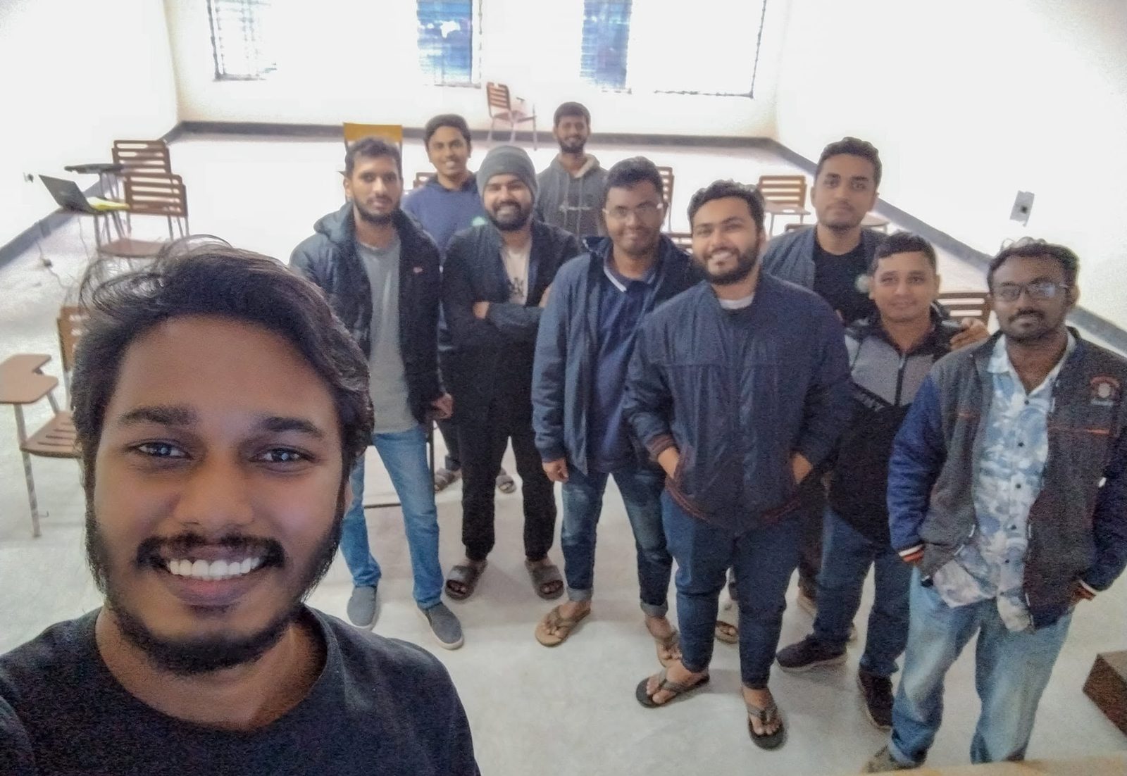
Our GIS and RS Certification Course runs online and on campus, with hands-on practice and a certificate at the end.
The same six steps apply whether the job is an ETP design, an IEE report or a mapping study.
You tell us what the project is and what you need to show.
We send a scope, timeline and fee for your approval.
We collect or receive the data and visit the site where needed.
We run the analysis or prepare the design.
You get the report, and we support submission.
We answer questions from reviewers, inspectors or your team.
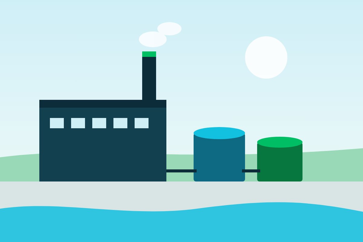
We are designing the effluent treatment plant and preparing the Initial Environmental Examination report for the factory.
Short explainers on the questions we hear most.
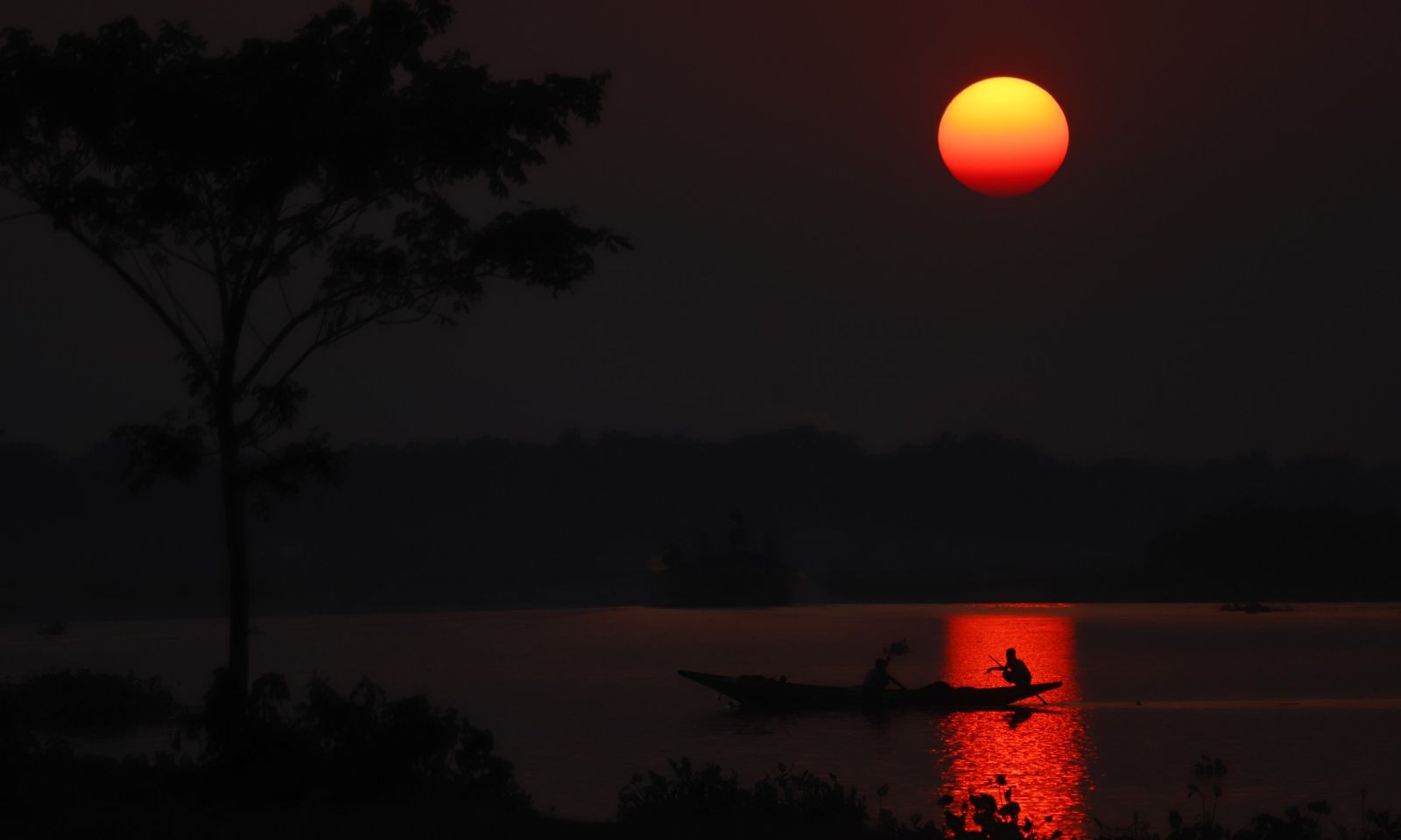
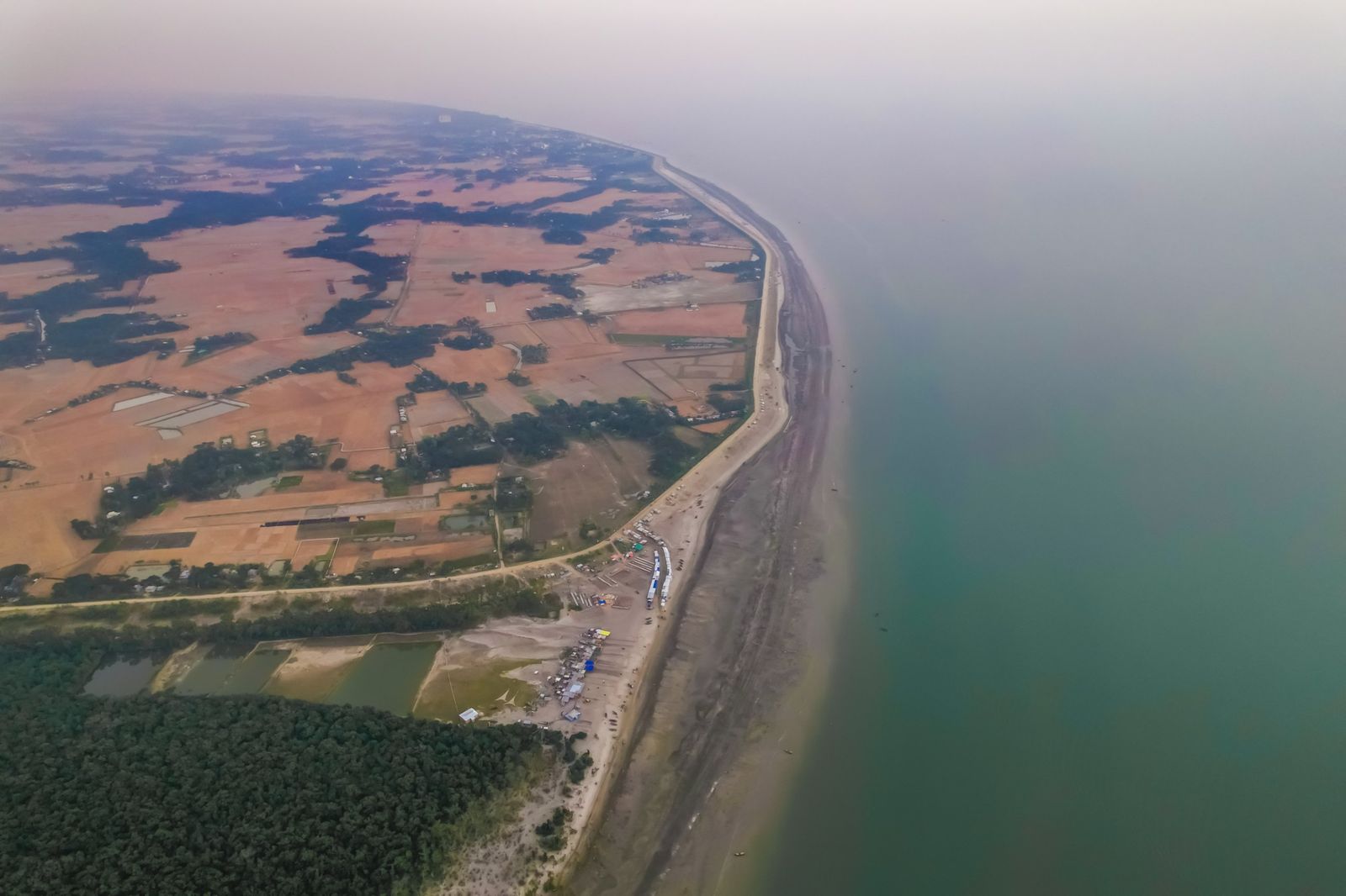
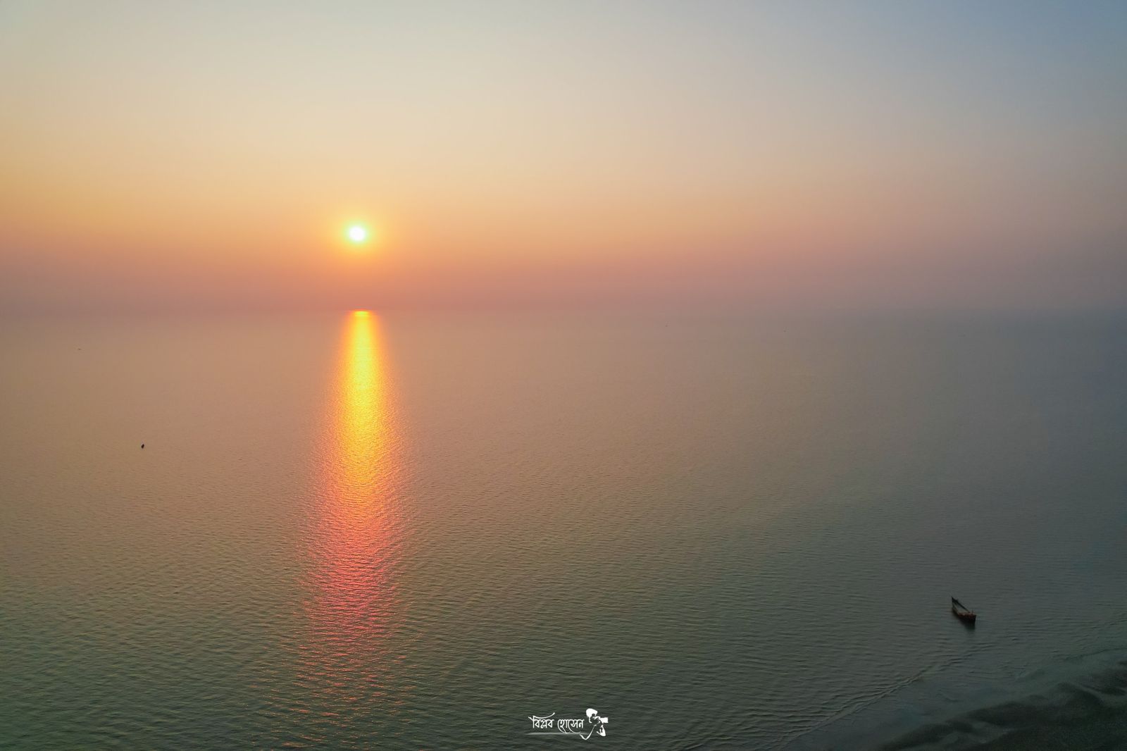
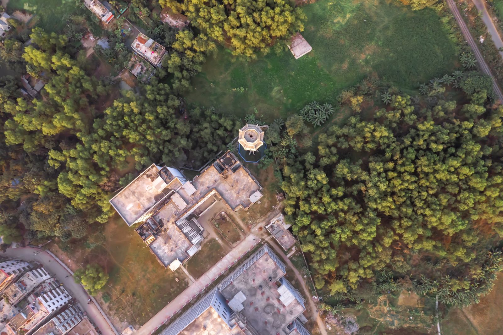
Rivers, coasts, fields and the life they support are the reason this work matters. Use the arrows or the pictures below to look around.


Send a short description of what you need. We reply within one working day, usually with questions and a rough plan.