Services
Consultancy for industry, spatial and water analysis, and training and support for researchers.
For industries and project developers
ETP design
We design effluent treatment plants that fit your factory's actual wastewater and space, and that your operators can run day to day.
- Wastewater characterisation and flow estimation
- Treatment process selection and sizing
- Layout, process drawings and design report
- Check against Department of Environment discharge standards
- Guidance on operation and monitoring
IEE and EIA reports
We prepare the environmental study your project needs for clearance, from the first screening to the final report. Which study applies depends on the category the Department of Environment gives the project.
- Screening and scoping
- Baseline environmental and social data
- Impact assessment and mitigation measures
- Environmental management and monitoring plan
- Report prepared for submission
Feasibility studies
Before money is committed, we test whether the site, process and environmental conditions support the project.
- Site and process review
- Environmental constraints and risks
- Comparison of options
- A clear recommendation you can take to your board or donor
Environmental consultancy
Ongoing advice for operators who need to stay compliant and improve how their site performs.
- Compliance gap review
- Practical improvement plans
- Support when preparing for inspections and renewals
Mapping and modelling
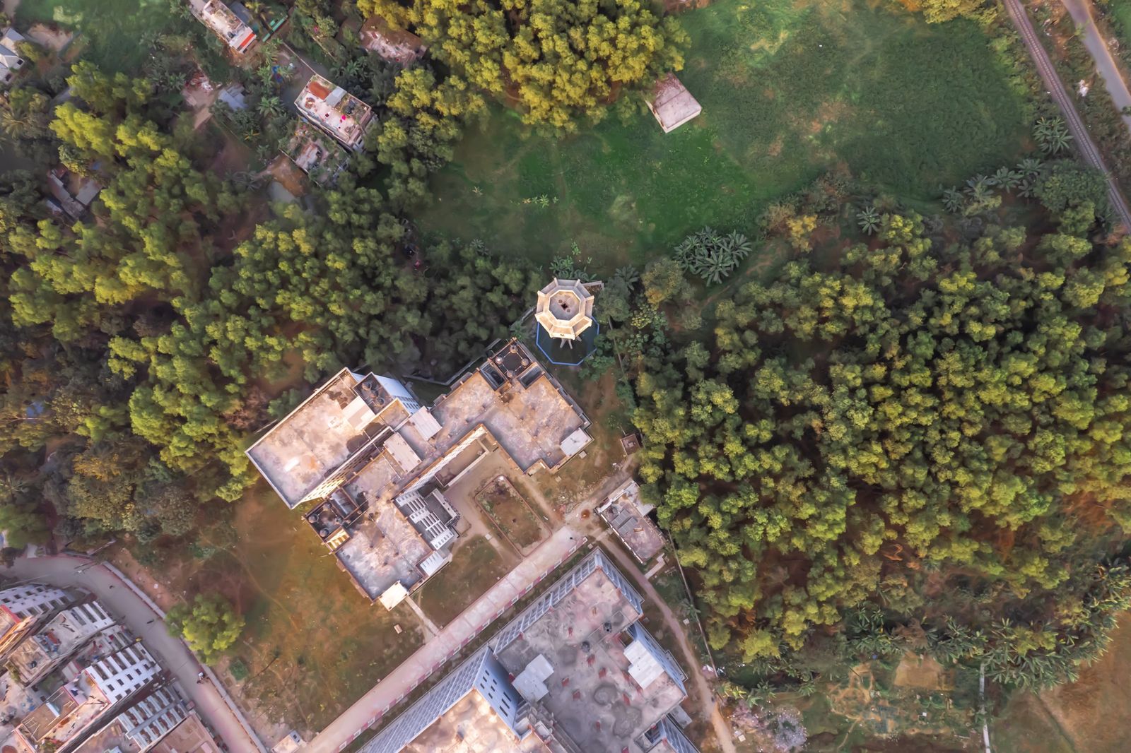
GIS, remote sensing and mapping
Maps and spatial analysis that stand up in a report, built from open and project data.
- Land use and land cover mapping
- Flood, drought and vulnerability mapping
- Site suitability analysis
- Satellite image processing
- Statistical analysis, charts and report-ready map layouts
Hydrological modelling
Hydrological modelling for water resource and climate studies, delivered as results you can interpret and use.
- Model set-up, calibration and checking
- Rainfall, runoff and water balance analysis
- Clear reporting of assumptions and limits
Training and research support
GIS and remote sensing training
Our GIS and RS Certification Course has run for six batches, online and on campus. We also train hydrological modelling.
- Online or on-campus delivery
- Hands-on practice, flexible schedule
- Certificates awarded by BlueGreen based on attendance
Thesis and project support
Guidance for BSc and MSc students from choosing a topic to defending the thesis.
- Topic selection and research design
- Methods and data analysis
- Writing and presentation feedback
Research paper publication support
Support for researchers who want their work published.
- Structuring the manuscript
- Editing and figure preparation
- Journal selection and submission
- Responding to reviewers
How a project runs
Brief
You tell us what the project is and what you need to show.
Proposal
We send a scope, timeline and fee for your approval.
Data and fieldwork
We collect or receive the data and visit the site where needed.
Analysis and design
We run the analysis or prepare the design.
Report and submission
You get the report, and we support submission.
Follow-up
We answer questions from reviewers, inspectors or your team.
Need something not listed?
If your work involves environment, water or GIS, describe it and we will tell you how we can help.