GIS and RS Certification Course
Learn GIS and remote sensing by doing the work. Online or on campus, with a certificate at the end.
What the course offers
- Flexible schedule so students and working professionals can attend.
- Comprehensive curriculum that takes you from basics to real analysis.
- Interactive learning with hands-on practice, not slides alone.
- Expert instructors who work in research.
- A competitive fee for students and professionals.
- An opening to join our research and publication team after the course.
Classes run online through Zoom or Google Meet. Participants receive a certificate from BlueGreen based on attendance.
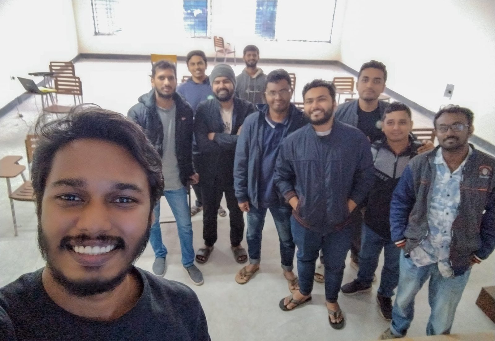
Track record
- Batches delivered
- 6
- Format
- 4 online batches and 2 on-campus batches
- Batch size
- About 30 to 50 learners
- On-campus audience
- Final-year Civil Engineering students, DUET
Training for your team or department
We can run a dedicated batch for a university department, NGO or company, online or at your premises. We also train hydrological modelling. Tell us the group size and what your people need to do.